



FJD Trion Survey Software
Model: Trion Survey
The field data-collection and stakeout app that runs on FJD Trion GNSS receivers and compatible Android field controllers.
Every FJD Trion product is quoted individually to reflect configuration, accessories and support requirements. Tell us about your project and we'll respond with pricing, lead time and (where useful) a demonstration.
Downloads
Datasheets and manuals for this product are being added to the catalogue — request a quote and we'll send the latest documentation directly.
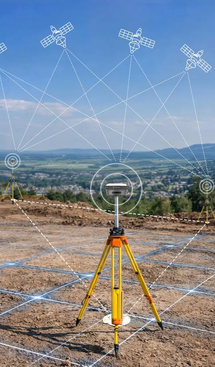
Trion Survey is the day-to-day field app for GNSS work: point measurement (auto, control, tilt, laser, scan and PPK modes), full stakeout support for points, lines, DTMs, CAD, roads and slopes including AR-guided stakeout, and a built-in calculation toolkit covering volumes, areas, traverse/offset, deflection, slope and general geometry. More than 6,000 predefined coordinate systems and 30+ customisable codes/symbols are supported, alongside import/export for the file formats UK survey teams already use — DWG, DXF, KML, SHP, PDF and more. Differential corrections can come via internal/external radio, Wi-Fi, NTRIP or several third-party radio protocols, and a free 5GB cloud drive is included for field-to-office data transfer. It runs on the V1/V1t/V10-series receivers as well as most Android 8+ devices meeting minimum spec.
You may also be interested in