
FJD Trion V10L RTK System
Model: V10L
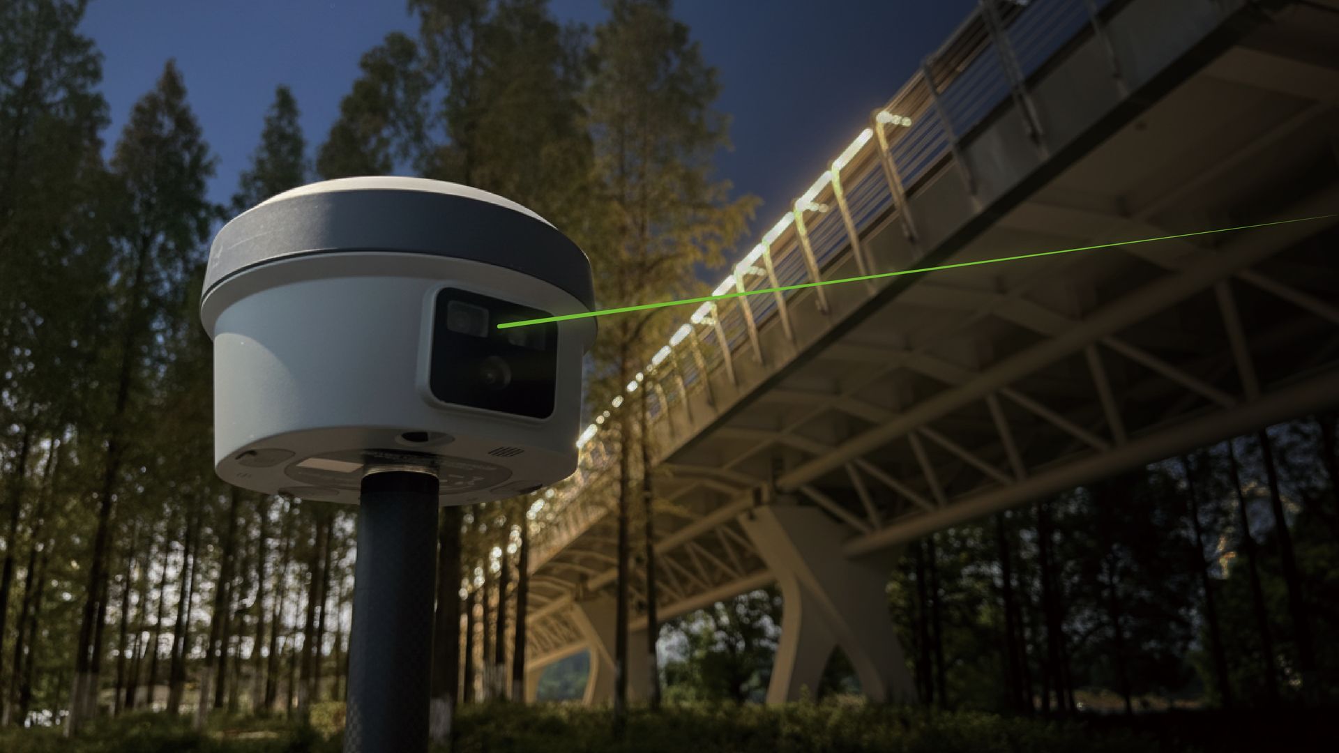
A laser-measuring RTK rover for capturing points on structures, bridges and substations that a survey pole simply cannot reach.
Every FJD Trion product is quoted individually to reflect configuration, accessories and support requirements. Tell us about your project and we'll respond with pricing, lead time and (where useful) a demonstration.
Downloads
Datasheets and manuals for this product are being added to the catalogue — request a quote and we'll send the latest documentation directly.
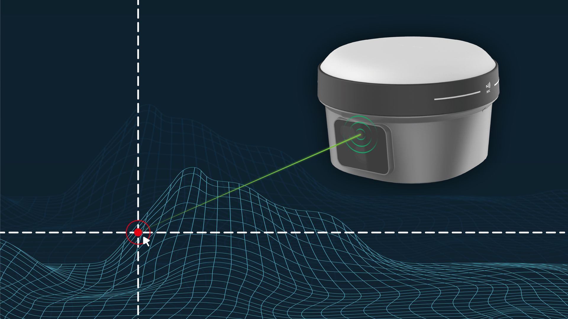
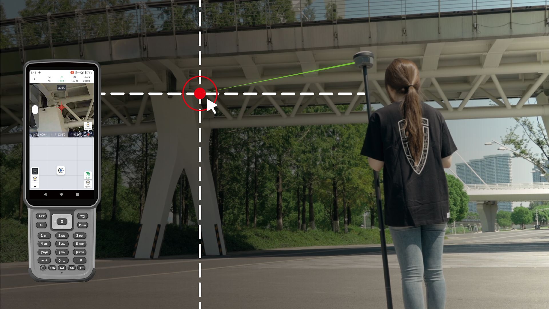
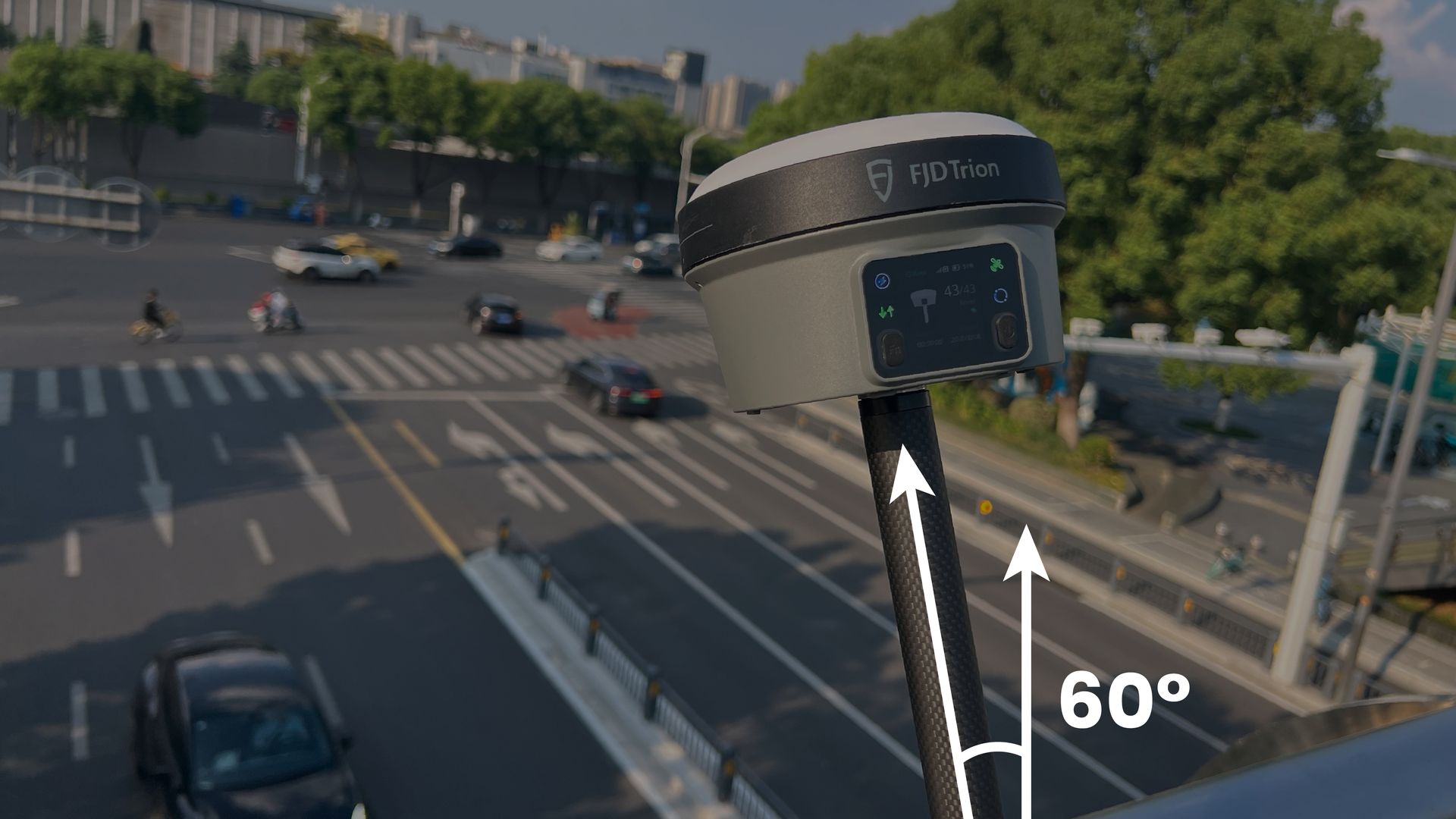
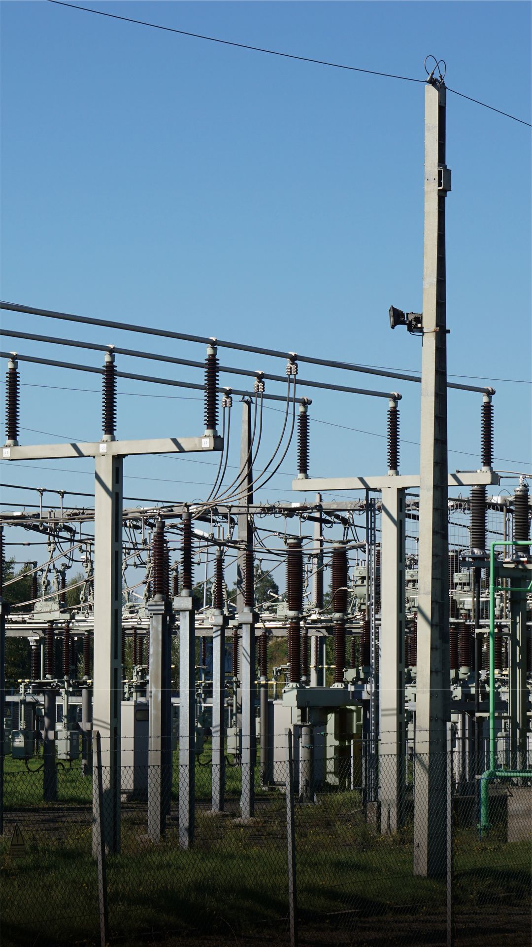
The V10L takes the V10-series GNSS core (same radio, positioning-rate and tilt-compensation figures as the V10a) and adds a laser distance-measurement module accurate to around 2cm at 5m, 3cm at 10m and 4cm at 15m, paired with a dual 2MP camera for point identification. It is aimed squarely at scenarios where the target point — a bridge soffit, substation conductor, riverbank edge or building corner — cannot be reached with a conventional pole, letting the operator measure it remotely from solid ground while retaining RTK-grade positional accuracy for the setup point itself. FJD markets it heavily around bridge, substation, riverbank, underpass and wall-corner capture, which lines up closely with UK infrastructure inspection and asset-survey use cases.
Technical specification
| Laser measurement | ≤2 cm within 5m; ≤3 cm within 10m; ≤4 cm within 15m |
|---|
| Cameras | Dual 2MP, 88° FOV (VFOV 63° / HFOV 76°) |
|---|
| Positioning rates | 1/2/5/10Hz (no 20Hz option) |
|---|
| RTK core | Same GNSS/RTK core as V10a/V10i |
|---|
| IP rating | IP68 |
|---|
You may also be interested in